The Complete Pacific Railroad Surveys, Senate Issue, 1855–1861.
PACIFIC RAILROAD SURVEYS. Reports of Explorations and Surveys, to Ascertain the Most Practicable and Economical Route for a Railroad from the Mississippi River to the Pacific Ocean, Made Under the Direction of the Secretary of War, in 1853-4. Washington, D.C.: Beverley Tucker, 1855-1861.
$6,000
1 in stock
Description
The Foundational Scientific Survey of the American West.
Few publications have done more to open a continent to understanding than this one. The Pacific Railroad Survey Reports — twelve quarto volumes, 652 plates and maps, not including the woodcuts in text — represent the most ambitious scientific survey of North America ever undertaken to that date: a comprehensive reckoning with the topography, geology, botany, zoology, and indigenous peoples of the American West, commissioned by Congress and executed by the Army Corps of Topographical Engineers between 1853 and 1861. Wagner-Camp called it “a monumental collection of scientific information, geographical, zoological, botanical, geological, of the still mysterious American West.” Howes called it “the best cartographical work on the West up to its time.”
This complete Senate issue in original leather bindings, comprising all twelve volumes (thirteen books) as issued, was published volume by volume as the reports arrived — the first in 1855, the last in 1861, just as the country it documented was tearing itself apart. The transcontinental railroad that the surveys were designed to enable began construction from Omaha toward California within two years of the final volume’s appearance.
The Publication in Detail
The surveys grew from a single political question — where should a transcontinental railroad run? — into something far larger than anyone anticipated. The original plan was three or four volumes. The final tally was twelve, and even then the reports arrived in disorder, zoological sections split across multiple volumes, plates assigned and reassigned as the printers worked through an avalanche of material. The result is, as one early commentator affectionately noted, “charmingly eccentric” rather than forbiddingly disorganized. The breadth of what was gathered is extraordinary.
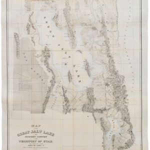
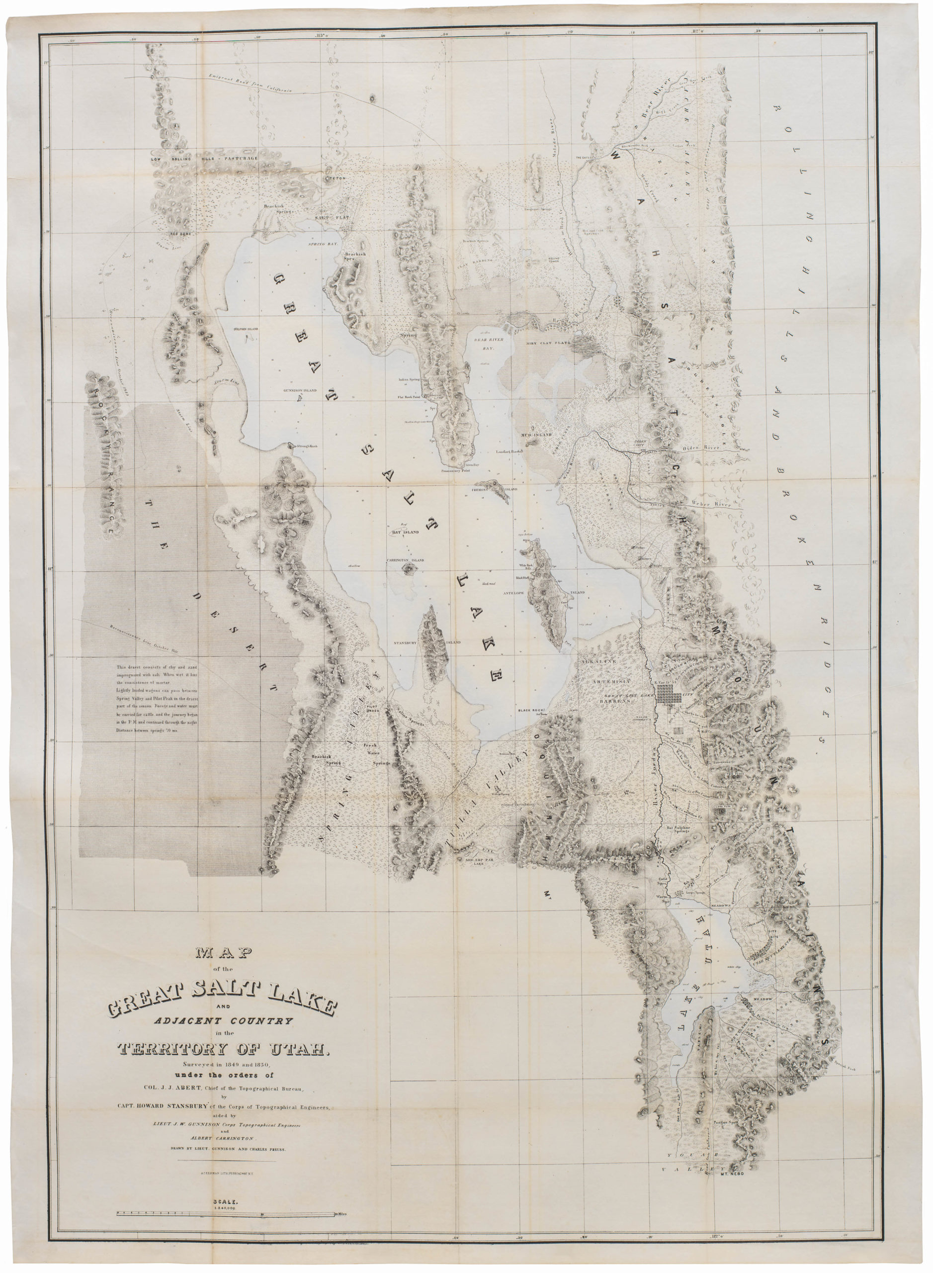
Volume I is the introductory volume, containing the correspondence and summary reports, including a memoranda on railways by Brevet Captain George B. McClellan of the Corps of Engineers. Volume II covers the Kansas-Colorado-Utah route along the 38th and 39th parallels, with the posthumous report of Captain J.W. Gunnison — killed by Paiute warriors in Utah while writing it — accompanied by twelve colored lithographic plates of western scenery, twenty botanical plates, and a color map. Volume III, the ethnographic volume, follows Lieutenant Amiel Weeks Whipple’s 35th parallel expedition from Little Rock through Oklahoma, New Mexico, and Arizona to Los Angeles, with extensive documentation of the Indian tribes of the region and twenty-one colored lithographic plates.
Volume IV covers the botany of the same route, devoted almost entirely to studies by Dr. J.M. Bigelow, George Engelmann (twenty-four plates of cacti), and Asa Gray (twenty-five botanical plates). Volume V is the first Southern California volume, with views of Los Angeles and San Diego — among the earliest printed views of those settlements — together with surveys of the deserts, valleys, mountains, and flora as far north as San Francisco. Volumes VI and VII cover the California-Oregon routes, from the Sacramento Valley to the Columbia River and from San Francisco Bay south to the Gila, with sections on geology, botany, and zoology, including colored plates of the Ponderosa Pine and the fauna of the Pacific coast.
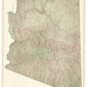
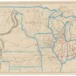
Volumes VIII, IX, and X constitute the sprawling Zoology Report, compiled under the direction of Spencer F. Baird of the Smithsonian Institution, who was simultaneously one of the great naturalists of the nineteenth century. Volume VIII covers mammals (757 pages); Volume IX covers birds (1,005 pages); Volume X covers reptiles and fishes, with colored plates of birds alongside. Volume XI is the map volume — the most fragile and the rarest in the digital record — containing four engraved map plates, thirteen lithographed view plates, and twenty-one folding maps with profiles, totaling thirty-two maps and profiles in all. Volume XII, published in two books in 1860, covers the northern route along the 47th–49th parallels from St. Paul to Puget Sound, reported by Isaac I. Stevens, Governor of Washington Territory, and illustrated with seventy colored landscape plates.
Historical Context
The question of where to route a transcontinental railroad was, in the 1850s, as much a political crisis as an engineering problem. Northern and Southern interests contended bitterly over which states the line would cross and which cities it would make great. The man who temporarily broke the deadlock was Jefferson Davis, Secretary of War under President Pierce, who in 1853 obtained a congressional appropriation to send Army surveying parties along four candidate routes simultaneously: the northern route (47th–49th parallels, from St. Paul to Puget Sound); the central route (38th–39th parallels, through the Rockies via Salt Lake); the 35th parallel route, through New Mexico and Arizona to Los Angeles; and the southern route (32nd parallel), along the Gila River to San Diego, which Davis personally favored. Pacific coast surveys were added to connect the route termini with San Francisco and the Pacific Northwest.
The result was the largest coordinated scientific expedition in American history, staffed by Army officers, civilian geologists, botanists, zoologists, and artists, many of whom went on to distinguished careers. By the time the final volume appeared in 1861, the country was at war, Davis was President of the Confederacy, and the railroad question had answered itself: the Union Pacific would begin at Omaha, running west to meet the Central Pacific coming east from California. The surveys had documented the alternatives; history chose the route.
Publication History and Census
Volumes I–VII: Washington, Government Printing Office, 1855–1857. Volumes VIII–X: Washington, Beverley Tucker, Printer, 1857–1859. Volume XI: Washington, George W. Bowman, 1861. Volume XII: Washington, Thomas H. Ford, Printer, 1860. Issued in both octavo and quarto formats and in both House (cloth) and Senate (leather) issues; the quarto Senate issue in original bindings, as here, is the preferred and more complete form. This copy comprises all twelve volumes (thirteen books) in publisher’s cloth, many volumes rebacked with the original spine laid down. All volumes except Volume VIII carry a library bookplate on the front endpaper and a small library stamp on the title page. Boards show some edge wear and variable fading to gilt spine lettering; occasional browning and foxing due to variations in paper stock; some minor tears to the large folding maps in Volume XI without loss. Internally, pages, plates, and maps are in very good to fine condition throughout. Total: 652 plates and maps, not including the woodcuts in text. Howes P-3; Wagner-Camp, The Plains & the Rockies, p.462.
Cartographer(s):
Jefferson Davis (1808–1889) was born in Kentucky and raised in Mississippi, graduating from West Point in 1828 and serving in the Army through the Black Hawk War before resigning to become a cotton planter. He returned to public life as a Mississippi congressman and then distinguished himself commanding the 1st Mississippi Rifles at the Battle of Buena Vista in the Mexican-American War, a performance that made him a national figure and launched his senatorial career. By the time President Franklin Pierce appointed him Secretary of War in 1853, Davis was among the most capable administrators in Washington — methodical, technically minded, and deeply invested in the modernization of the American military.
His tenure as Secretary of War from 1853 to 1857 was genuinely consequential. He introduced rifled muskets to the infantry, experimented with a camel corps for desert operations in the Southwest, and — most relevant here — secured the congressional appropriation that funded the Pacific Railroad Surveys. Davis personally favored the southernmost route, along the 32nd parallel from Texas along the Gila River to San Diego, a preference that was partly practical and partly sectional: a southern terminus would anchor the transcontinental railroad in territory friendly to Southern interests. The surveys he ordered were scrupulously conducted; the route he preferred was not chosen. Davis returned to the Senate in 1857, resigned when Mississippi seceded in 1861, and became President of the Confederate States of America — meaning that the final volume of the survey he had ordered appeared in the same year he took office in Montgomery. He was captured by Union forces in 1865, imprisoned for two years at Fort Monroe, and never tried for treason. He spent his remaining years in Mississippi and died in New Orleans in 1889, the last significant figure of the Confederate leadership to go.
Lt. Gouverneur Kemble WarrenGouverneur Kemble Warren (1830–1882) was born in Cold Spring, New York, and graduated second in his class from West Point in 1850, entering the Corps of Topographical Engineers — the Army’s elite unit of scientific soldiers tasked with mapping an unmapped nation. In the mid-1850s he was assigned to the Pacific Railroad Survey project, where his contribution proved to be the most enduring cartographic legacy of the entire enterprise: the Map of the Territory of the United States from the Mississippi River to the Pacific Ocean (1857), compiled from all four survey routes and every other reliable source then available. Known simply as the Warren Map, it was the most comprehensive and accurate cartographic picture of the American West produced to that date, and remained the standard reference for the region well into the following decade. It appeared in Volume XI of the Pacific Railroad Survey Reports.
Warren’s subsequent career carried him from the surveying field to the most consequential ground of the Civil War. Serving as Chief Engineer of the Army of the Potomac, he is credited with one of the decisive acts of the Battle of Gettysburg: on the afternoon of July 2, 1863, recognizing that Little Round Top stood undefended and commanded the entire Union left flank, he rushed troops to hold it moments before the Confederate assault. The position held. His reputation, however, did not survive the war intact. At the Battle of Five Forks in April 1865, Philip Sheridan relieved him of command in disputed circumstances, a public humiliation that Warren spent the rest of his life contesting. A court of inquiry finally vindicated him in 1882 — but the findings were announced after his death. He died in August of that year, at fifty-two, having never learned the outcome.
Condition Description
Over 600 plates and folding maps/charts (intermittent browning and spotting, a handful of plates with adhesive obscuring caption, occasional short closed tears, maps in vol. 11 particularly fragile with some tearing, vol. 12 with occasional dampstaining). Publisher’s cloth (many volumes rebacked with original spine laid down, some rubbing and wear to extremities, vol. 7 joints cracked). Volume 5 is separated from the spine.
Provenance: Lawrence Public Library (stamps, bookplates, and library record numbers) – William Reese Co. – Christie's 2017 Martin Greene Sale.
References
Wagner-Camp 262, 262a,263, 263a,264,264a,265,266,266a,266b,266c,267. Wheat, Transmississippi West 824, 843-846, 852, 853, 864-867, 874, 875, 877-882, 898, 936. Edwards, Enduring Desert, pages 187-188. Flake 9255. Hill 1281. Howes R3 (Ref). Paher 2044. Reese, Best of the West 138. Reese, Stamped with a National Character 75. Rittenhouse 442. Tweney 89:59. Zamorano Select 108. McGrath, American Colorplate Books, pages 76-80.