Cornelis van Wytfliet (died around 1597) was a geographer from Leuven in the Habsburg Netherlands, best known for producing the Descriptionis Ptolemaicae augmentum sive Occidentis notitia brevis commentario, as a supplement to Ptolemy’s Geographia.
‘Descriptionis‘ was published in Leuven in 1597 and is considered the first atlas devoted exclusively to the New World. It featured nineteen maps: one world map and eighteen regional maps. The regional maps, in particular, are notable as early representations of specific areas of North and South America.
No products were found matching your selection.
Archived
- Out of Stock
- Eastern United States
Norumbega et Virginia 1597
- First state of Wytfliet's important map of the Mid-Atlantic Seaboard, derived from the first atlas to focus on mapping the New World.
- Read more
-
- Out of Stock
- California
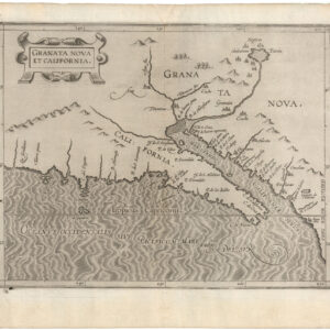
Granata Nova et California
- One of the most fantastic and interesting early maps of California ever to be produced!
- Read more
-
- Out of Stock
- Cuba, West Indies, Caribbean, Eastern United States, United States
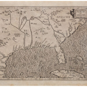
Florida et Apalche
- The first great regional map of Florida and the Gulf Coast.
- Read more
-
- Out of Stock
- California
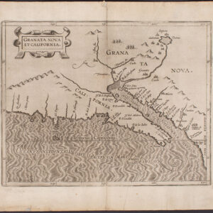
Granata Nova et California
- The first printed map to focus on California and the American Southwest, from the first atlas devoted entirely to maps of the Americas.
- Read more
-
- Out of Stock
- Pacific Northwest - Hawaii - Alaska
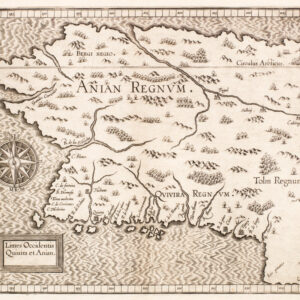
Limes Occidentis Quivira et Anian.
- The second printed map of northwest North America, including the Northwest Passage.
- Read more
-
