George Vancouver (1750-1798) was a British naval officer and explorer most recognized for his three expeditions to the Pacific Northwest. An Englishman by birth, Vancouver joined the Royal Navy as a young man, serving, among other places, as a midshipman on Cook’s ship the HMS Resolution during its second voyage to Australia. He held a similar role during the third Cook expedition, in which the Hawaiian archipelago was discovered, and the illustrious captain was killed. After two solid performances under challenging circumstances, Vancouver was promoted to lieutenant upon their return and trained as a maritime surveyor in the Caribbean. His training included the latest advances in maritime triangulation, which is one of the reasons that Vancouver’s maps achieved such impressive accuracy.
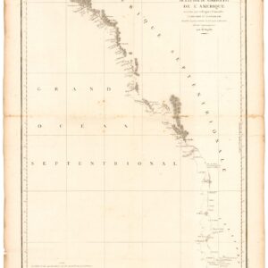
In 1790, The British Admiralty appointed Vancouver as captain of the HMS Discovery and commissioned him to complete the exploration of America’s northwestern coastline that Cook and La Perouse had initiated. This led, among other things, to a decisive mapping of the Pacific coast from San Diego in the south, to Alaska’s Kodiak Island in the north. His map included the identification of Vancouver Island, named after him, and perhaps more importantly of the Columbia River’s estuary, which opened the interior to trade. He also confirmed that Cook Inlet (the bay fronting modern Anchorage) did not constitute an interior Northwest Passage. Having been with Cook to the Sandwich Islands (Hawaii), Vancouver knew to winter there during his four-year expedition, and as a result, he was also the first to produce an accurate map of the Hawaiian archipelago.
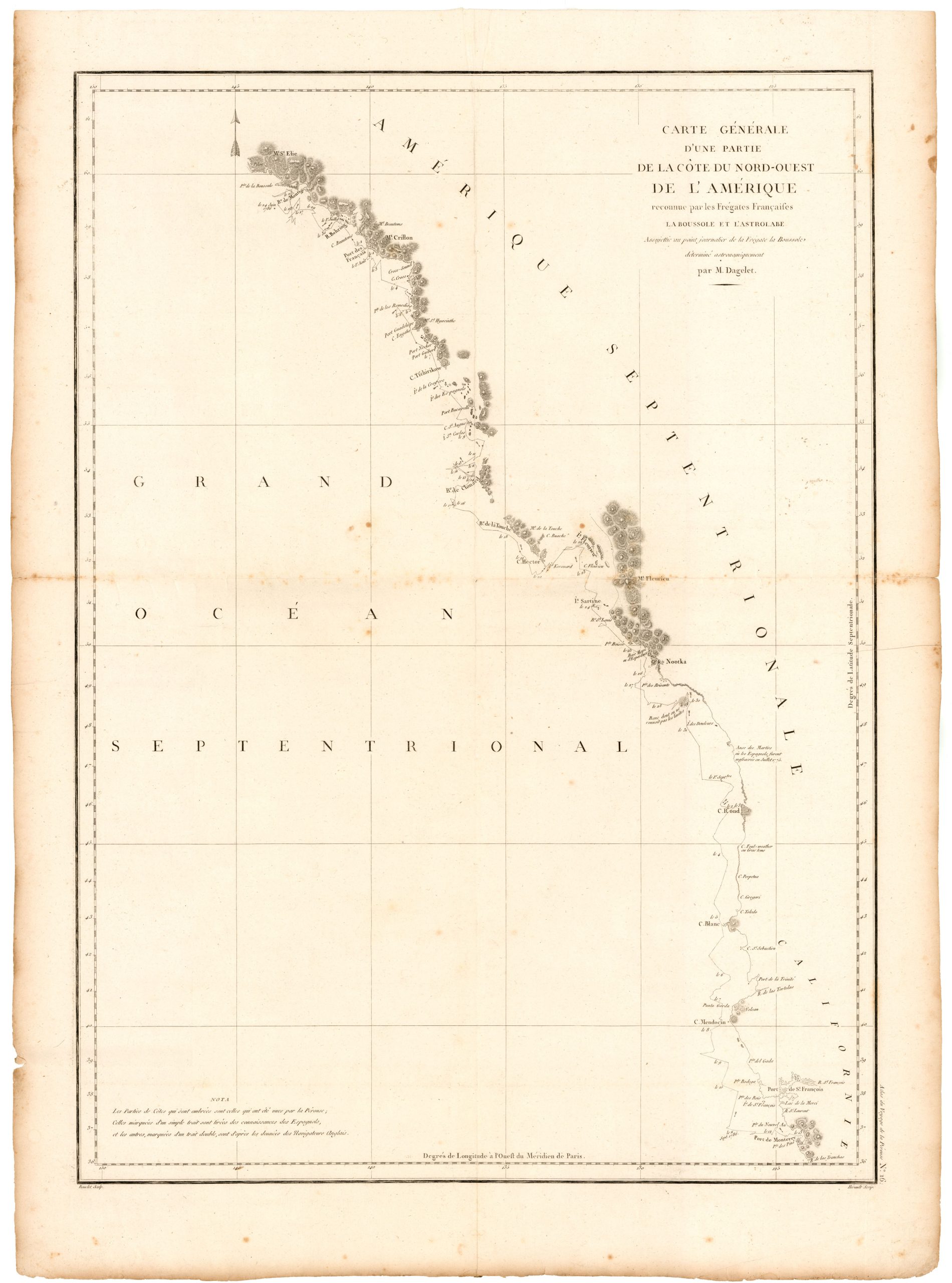
Vancouver was a true Enlightenment explorer, more interested in actual discovery than in manifesting politics or religion. Moreover, he had experienced the potential consequences of engaging the unknown with the characteristic British arrogance. He consequently applied an entirely different approach than many of his peers, establishing good relations with many of the indigenous people he came across and exchanging maps and information with several Spanish expeditions despite England’s ongoing conflict with the motherland. In an exchange with the famous Spanish explorer Juan Francisco Bodega y Quadra at Nootka Sound, Vancouver first acquired a copy of Robert Gray’s pioneering chart of the lower Columbia River (1790), which directed him to make his discovery and map of the river’s estuary.
Vancouver’s unusual modus operandi is perhaps one of the reasons that he won several influential enemies among his officers (incl. the famous botanist Archibald Menzies). Vancouver was subjected to slander and degradation following the expedition’s return to England, ultimately dying in obscurity in 1798. His seminal atlas was published the same year in England and reissued in a larger and much better format in French the following year. Despite falling on ill fortune towards the end of his life, Vancouver has since been vindicated as one of the late 18th century’s most noteworthy explorers, and today, he lends his name to many other places than just the city and island of Vancouver.
Archived
- Out of Stock
- California, Pacific Northwest - Hawaii - Alaska
Carte de la Partie de la Cote Nord-Ouest de L’Amerique Reconnue pendant Etes de 1792, 1793, et 1794.
- Vancouver's chart of America’s Pacific coastline: the first printed map to identify the Columbia River estuary and Vancouver Island.
- Read moreQuick View
-