-
-
Add to cartQuick View
- North America, Pacific Northwest - Hawaii - Alaska, United States, Americas
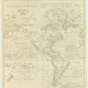
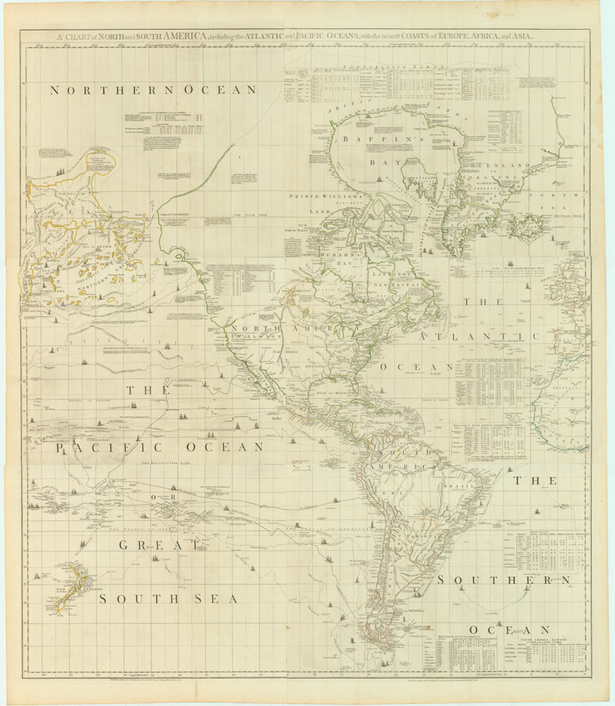
A Chart of North and South America, Including the Atlantic and Pacific Oceans, with the nearest Coasts of Europe, Africa, and Asia
- $4,200
- Sayer-Bennet-Mead's 1775 chart of the Western Hemisphere with Pacific and Arctic routes of exploration.
-
Add to cart
-
-
Add to cartQuick View
- Africa
Africa Ioanne Baptista Nicolosio S.T.D. Sic Describente.
- $4,400
- A landmark map for the historical cartography of Africa.
-
Add to cart
-
-
Add to cartQuick View
- California, Bay Area & Silicon Valley
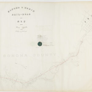
Sonoma & Marin Rail-Road Map, May 1875.
- $3,800
- Railroad manuscript map with early Petaluma town plan and survey work down to Marin County.
-
Add to cart
-
-
Add to cartQuick View
- Africa, Middle East - Holy Land Maps
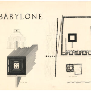
Babylone. / Temple de djeser. / Temple of Mentouhote.
- $550
- Three hand-inked plans of ancient monuments, drawn by one of France’s most revered historical illustrators.
-
Add to cart
-
-
Add to cartQuick View
- California, San Francisco, Pictorial maps, Bird's-eye-views
Bart Opens Embarcadero. First port o’call in San Francisco
- $475
- Celebrating public transit -- a pictorial view of downtown San Francisco announcing the 1976 opening of the Embarcadero BART station.
-
Add to cart
-
-
Add to cartQuick View
- Asia, Atlases & Books
Southern Tibet. MAPS I.
- $800
- The cartographic record of Sven Hedin’s incredible Third Expedition across the Tibetan Plateau.
-
Add to cart
-
-
Add to cartQuick View
- California, San Francisco
[Seventeen original Taber albumen photographs of California and Oregon]
- $975
- An extraordinary collection of late 19th-century photographs from America's West Coast.
-
Add to cart
-
-
Add to cartQuick View
- Europe, Iceland & Scandinavia
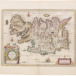
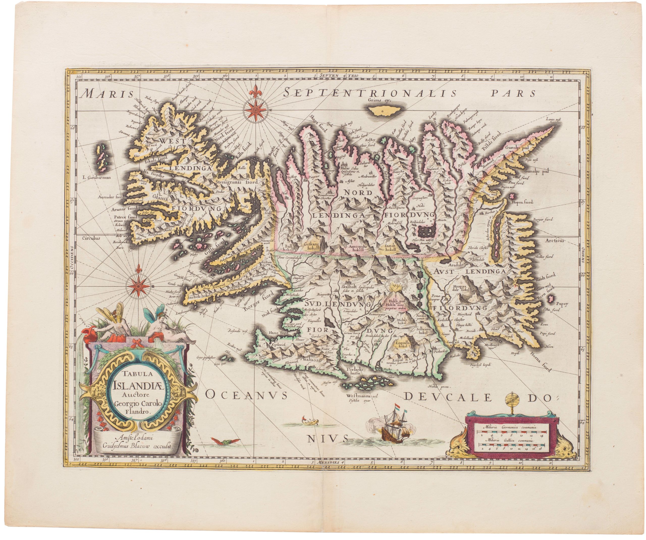
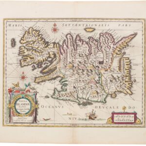
Tabula Islandiae
- $1,000
- Blaeu’s stunning Carolus Map of Iceland: A Landmark in North Atlantic Cartography.
-
Add to cart
-
-
Add to cartQuick View
- Europe, Iceland & Scandinavia
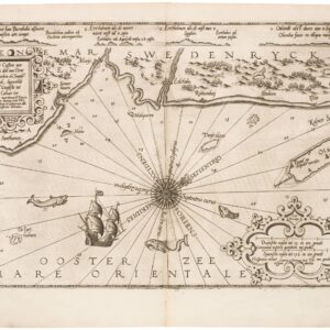
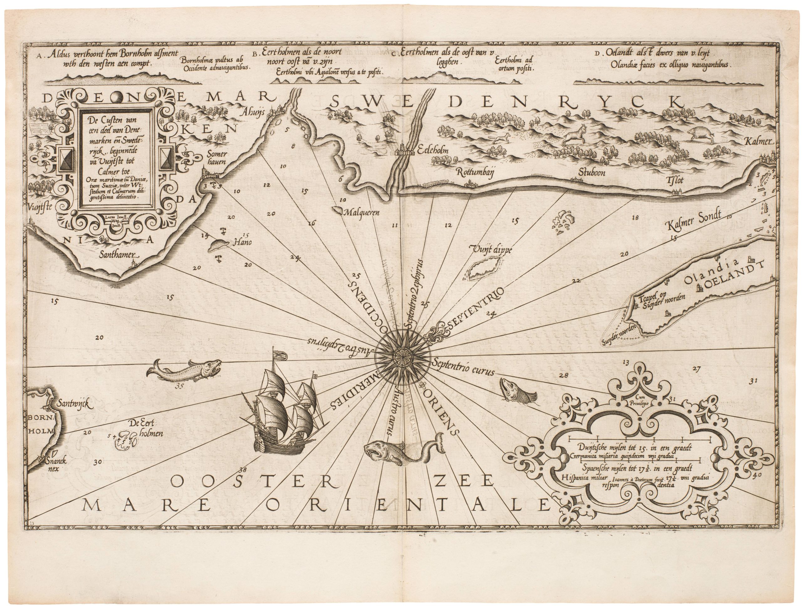
De Custen van een deel van Denemarken en Swederijck, beginnede va Vuijtste to Calmer Toe…
- $900
- Waghenear’s gorgeous 16th-century sea chart of Sweden’s Baltic coastline.
-
Add to cart
-
-
Add to cartQuick View
- Michael's Collection, Texas and The West
[1838 Republic of Texas manuscript document detailing the votes for elected office, including President].
- $8,500
- Original Republic of Texas referendum document stipulating the results of the 1838 election of a new president, signed by William Lockhart Hunter.
-
Add to cart
-
-
Add to cartQuick View
- San Francisco
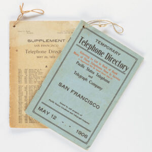
Temporary Telephone Directory with Supplement, San Francisco May 12, 1906
- $2,200
- The first 1906 San Francisco Temporary Telephone Directory - with rare extra supplement!
-
Add to cart
-
-
Add to cartQuick View
- Southeast Asia & Australia, Asia
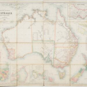
The British Colonies of Australia, New Zealand and Tasmania Shewing the Latest Discoveries and Travellers Routes.
- $2,800
- Britain’s Austral Colonies in the Victorian Era.
-
Add to cart



![[Seventeen original Taber albumen photographs of California and Oregon]](https://neatlinemaps.com/wp-content/uploads/2023/07/447973_0-300x300.jpg)
![[1838 Republic of Texas manuscript document detailing the votes for elected office, including President].](https://neatlinemaps.com/wp-content/uploads/2023/06/NL-01852-front_thumbnail-300x300.jpg)
