-
-
Add to cartQuick View
- San Francisco
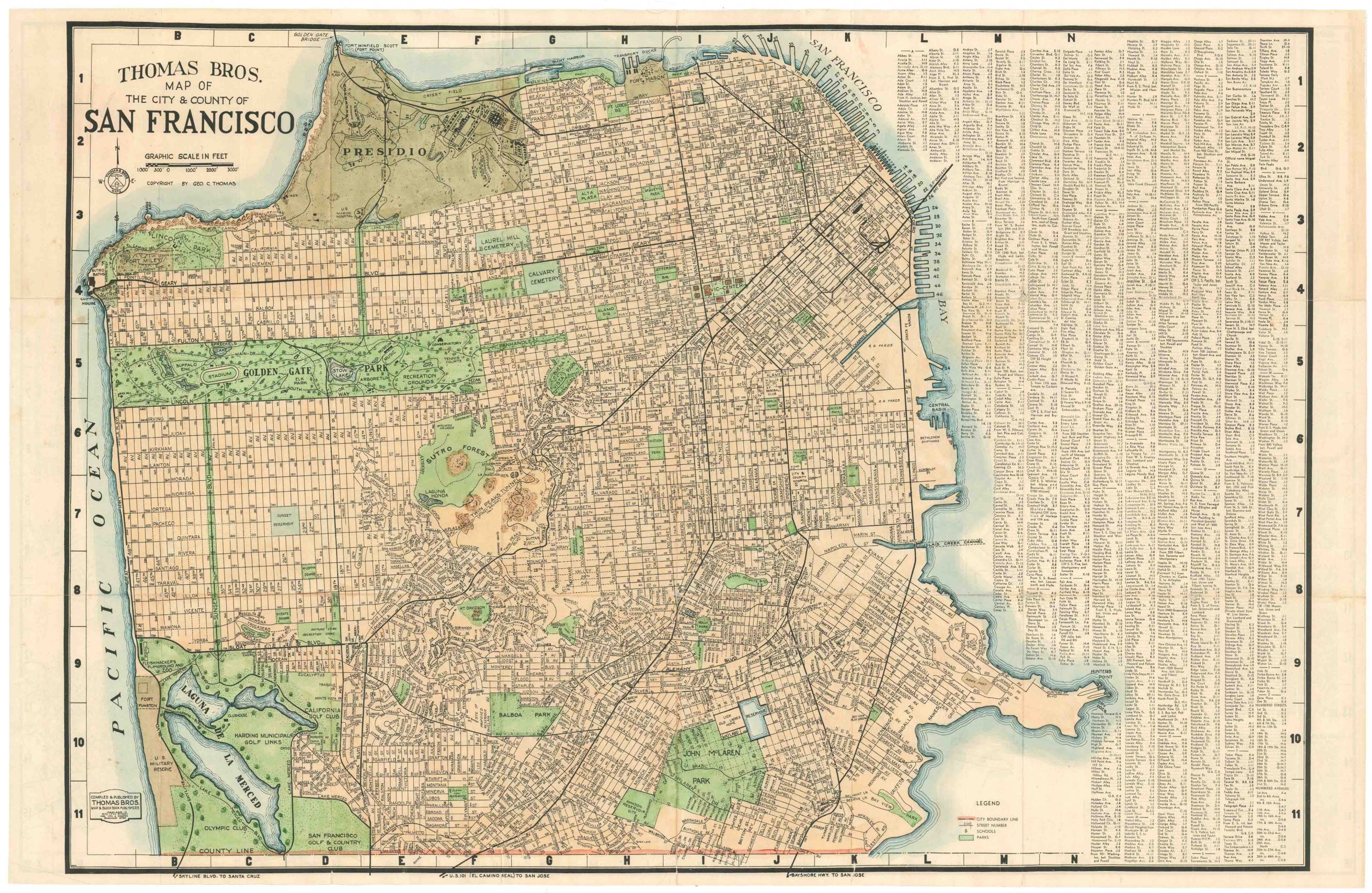
Thomas Bros Map of the City and County of San Francisco.
- $575
- Large and attractive 1938 Thomas Brothers map of San Francisco.
-
Add to cart
-
-
Add to cartQuick View
- California, United States, Texas and The West
Map of the United States Mexico &c. Showing the various Land and Water Routes from the Atlantic Cities to California
- $750
- A scarce map from the early days of the Gold Rush.
-
Add to cart
-
-
Add to cartQuick View
- California, Texas and The West
A New Map of the State of California, the Territories of Oregon & Utah…
- $675
- Promoting California and the Gold Rush to a Receptive Audience.
-
Add to cart
-
-
Add to cartQuick View
- California
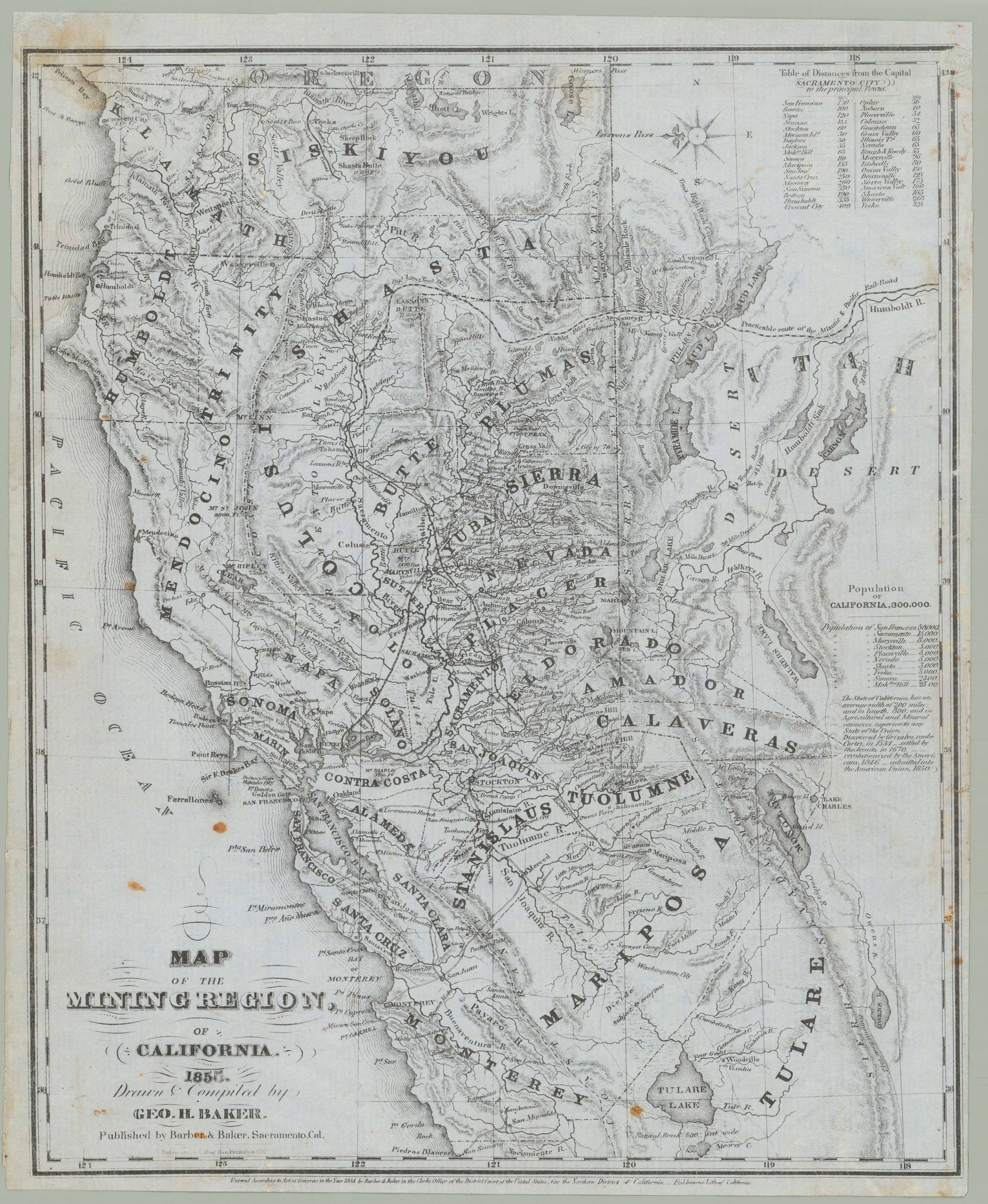
Map of the Mining Region of California 1855. Drawn and Compiled by Geo. H. Baker
- $8,500
- George Holbrook Baker’s 1855 letter sheet mining map of northern California.
-
Add to cart
-
-
Add to cartQuick View
- United States, Texas and The West
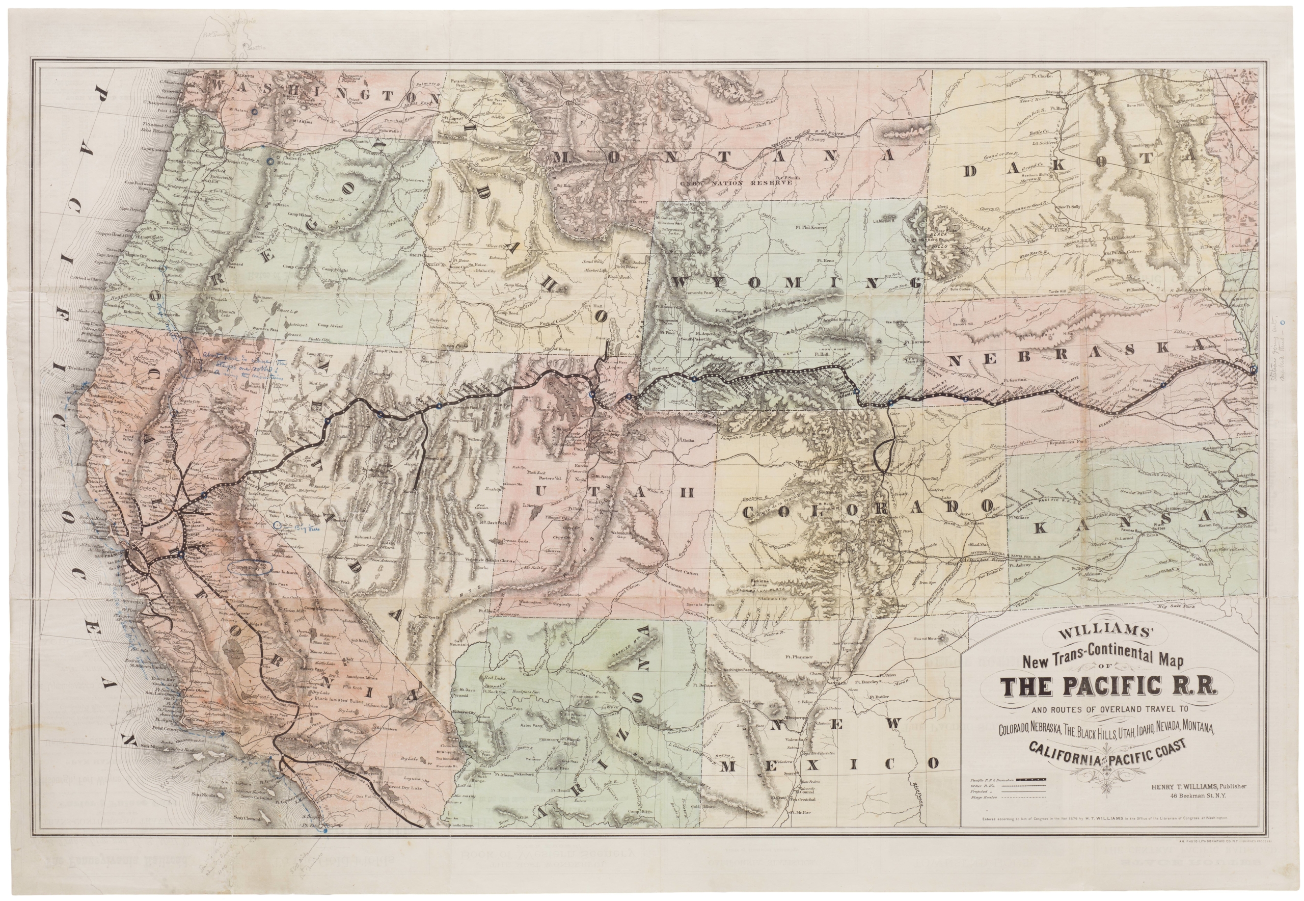
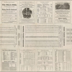
Williams New Trans-Continental Map of The Pacific R.R. and Routes of Overland Travel To Colorado, Nebraska, The Black Hills, Utah, Idaho, Nevada, Montana California and the Pacific Coast.
- $3,500
- 1876 Pacific Railroad map with references to notorious stagecoach robber Black Bart.
-
Add to cart
-
-
Add to cartQuick View
- Pacific Northwest - Hawaii - Alaska
Mount St. Helen’s Quadrangle (7.5 Minute Series)
- $575
- Washington’s dramatic volcanic peak, taken a few years before the catastrophic 1980 eruption.
-
Add to cart
-
-
Add to cartQuick View
- Bird's-eye-views, Pacific Northwest - Hawaii - Alaska
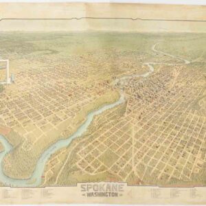
Spokane. Washington.
- $4,500
- A scarce and gorgeous bird’s-eye-view of Spokane during its heyday as the railroad hub of the Northern Plains.
-
Add to cart
-
-
Add to cartQuick View
- Europe, Featured Maps & Views, Italy, Michael's Collection
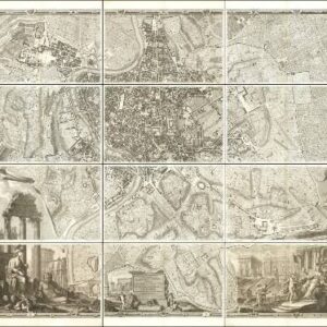
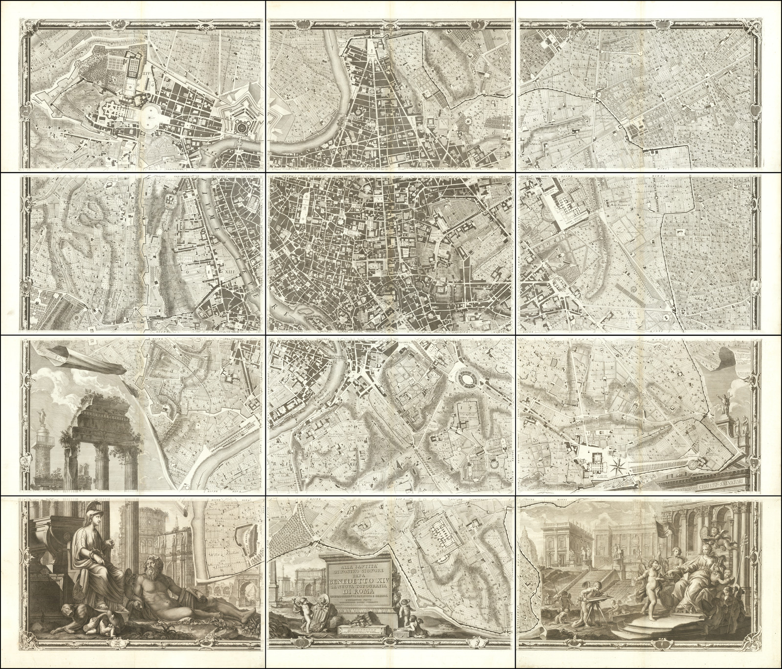
Alla Santità di Nostro Signore Papa Benedetto XIV La Nuova Topografia di Roma…
- $35,000
- The famous Nolli wall map of Rome: one of the finest urban plans ever made.
-
Add to cart
-
-
Add to cartQuick View
- East & Midwest United States, Texas and The West
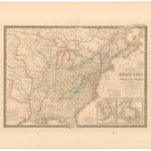
Carte Générale des Etats-Unis, des Haut et Bas-Canada, de la Nouvelle Ecosse, du Nouvelle Brunswick, de Terre Neuve.
- $875
- Brué’s important map of the United States prior to the Mexican-American War, with an overtly independent Texas.
-
Add to cart
-
-
Add to cartQuick View
- California, San Francisco
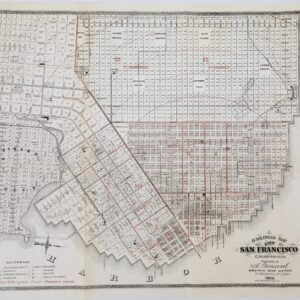
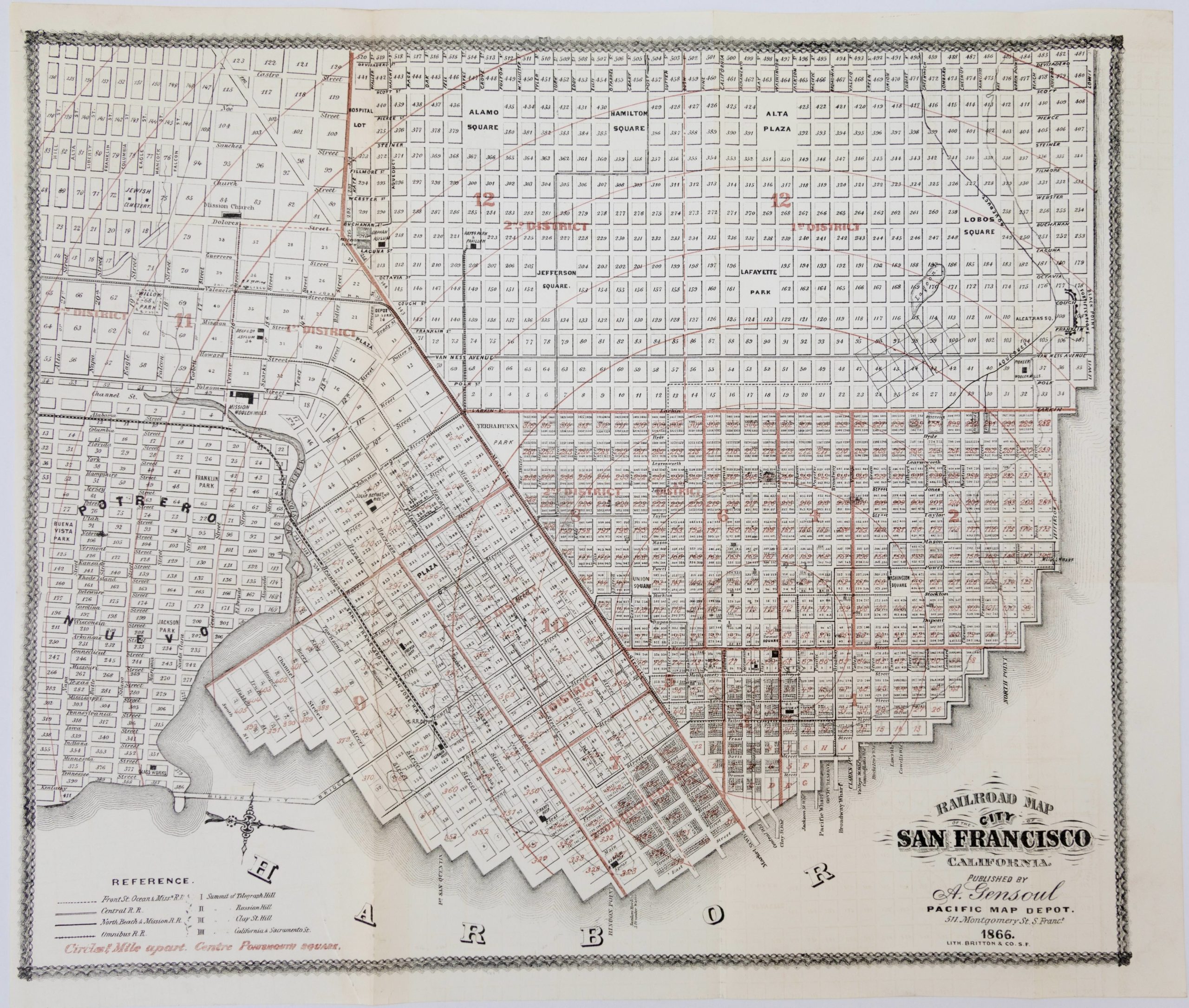
Railroad Map of the City of San Francisco California
- $650
- Documenting a rapidly expanding city: 1866 map of San Francisco.
-
Add to cart
-
-
Add to cartQuick View
- Bay Area & Silicon Valley, Bird's-eye-views, California, Pictorial maps
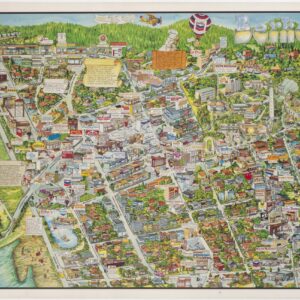
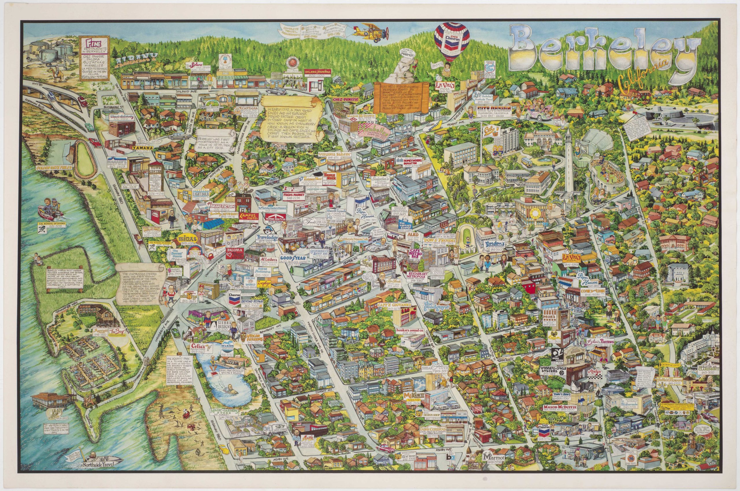
Berkeley California.
- $750
- Rich pictorial bird's-eye-view of Berkeley, including the University of California.
-
Add to cart
-
-
Add to cartQuick View
- Americas, Cuba, West Indies, Caribbean
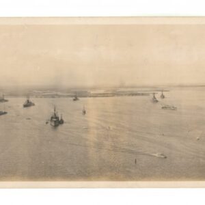
Atlantic Fleet. Guantanamo Bay from Radio Tower – U.S. Naval Station
- $800
- An evocative WW1 panoramic photograph of the U.S. Navy’s Atlantic Fleet stationed at their new base in Guantanamo Bay, Cuba.
-
Add to cart
Shop
All maps in stock, sorted by latest.
