The General Land Office (GLO) was the independent government agency in charge of public lands. Created in 1812, it took over responsibility for public domain lands from the Department of the Treasury. Hitherto, the Treasury had done a decent job of overseeing the many surveys that were needed to map the lands of the Louisiana Purchase, including those taking place in the Northwest Territory. However, as land was added to the United States at an impressive rate in the 19th century, the government needed a new agency dedicated to surveying and planning the new lands. The establishment was a huge success, and over time the GLO would become responsible for surveying, mapping, and selling most of the land west of the Mississippi (except Texas).
In 1849, the GLO came under the auspices of the Secretary of the Interior, an office created that same year. Here it stayed until the creation of the Forest Service more than half a century later (1905). This made sense, since the GLO had been the office responsible for managing forested lands that had been extracted from the public domain, but remained the property of the State.
In addition to managing and selling land, the GLO conducted large scale surveys and produced maps and plans of the areas in question. In 1946, the GLO merged with the United States Grazing Service to become the Bureau of Land Management.
-
- Add to cart
- California
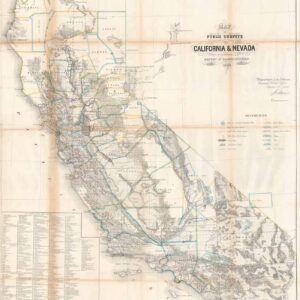
Map of public surveys in California & Nevada to accompany report of commissioner of the general and office.
- $800
- One of the key 19th-century maps of California.
Archived
- Out of Stock
- Eastern United States
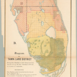
D. Diagram: of Tampa Land District.
- A mid-19th century Florida land survey map published a decade after statehood.
- Read more
-
- Out of Stock
- Texas and The West, United States
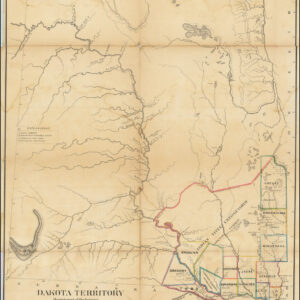
Dakota Territory…1866
- One of the earliest obtainable maps to focus on Dakota Territory, and one of the first to depict its nascent counties.
- Read more
-


