-
-
Add to cart
 Quick View
 - East & Midwest United States, Featured Maps & Views, United States
Gettysburg Battle-Field.
- $2,400
- Bachelder's iconic 1863 view of the Battle of Gettysburg.
-
-
-
-
Add to cart
 Quick View
 - Bay Area & Silicon Valley, California
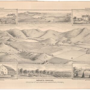
Novato Rancho.
- $2,400
- An extremely rare bird’s-eye-view of Novato depicting the Sweetser-DeLong ranch and early town.
-
-
-
-
Add to cart
 Quick View
 - California, Texas and The West, Atlases & Books
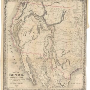
Map of California, Oregon, Texas, and the territories adjoining, with routes &c.
- $1,900
- Colton’s iconic map of the West, with California Gold region and extended Texas borders.
-
-
-
-
Add to cart
 Quick View
 - Featured Maps & Views, United States
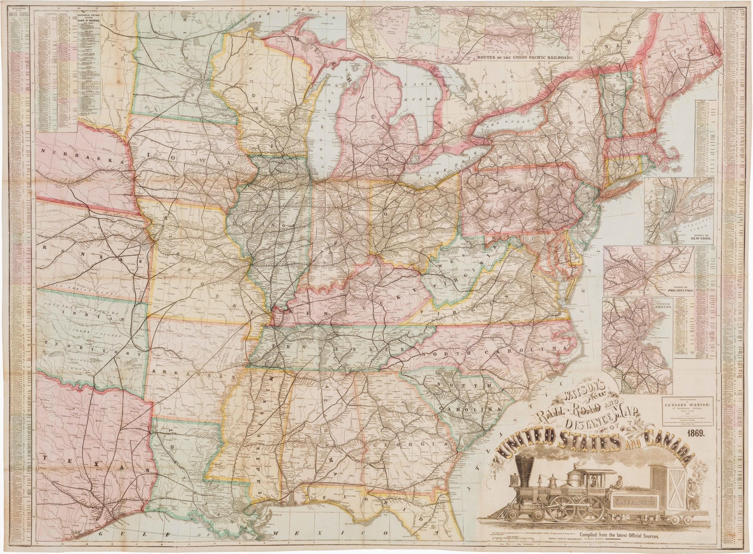
Watson’s New Rail Road and Distance Map of the United States and Canada.
- $3,800
- Among the finest railroad maps of America made in the 19th century.
-
-

-
-
-
Add to cart
 Quick View
 - California, Texas and The West
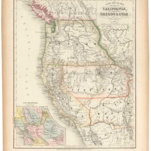
A New Map of the State of California, the Territories of Oregon & Utah…
- $675
- Promoting California and the Gold Rush to a Receptive Audience.
-
-
-
-
Add to cart
![[Untitled] Portraits and facsimile signatures of 48 American patriots.](https://neatlinemaps.com/wp-content/uploads/2024/05/NL-01743_thumbnail-300x300.jpg) Quick View
Quick View - Curiosities - Miscellanea, East & Midwest United States
[Untitled] Portraits and facsimile signatures of 48 American patriots.
- $2,400
- A formative sheet in patriotic printing.
-
-
-
-
Add to cart
![[First State] Panorama of the Seat of the War Birds Eye View of Virginia, Maryland, Delaware and the District of Columbia](https://neatlinemaps.com/wp-content/uploads/2024/05/NL-00664-scaled-1-300x300.jpg)
![[First State] Panorama of the Seat of the War Birds Eye View of Virginia, Maryland, Delaware and the District of Columbia](https://neatlinemaps.com/wp-content/uploads/2024/05/NL-00664-scaled-1.jpg) Quick View
Quick View - Bird's-eye-views, East & Midwest United States, Featured Maps & Views
[First State] Panorama of the Seat of the War Birds Eye View of Virginia, Maryland, Delaware and the District of Columbia
- $2,200
- Bachmann's dramatic 1861 panoramic view of the central theater of the American Civil War.
-
-
-
-
-
Add to cart
![[Seventeen original Taber albumen photographs of California and Oregon]](https://neatlinemaps.com/wp-content/uploads/2023/07/447973_0-300x300.jpg) Quick View
Quick View - California, San Francisco
[Seventeen original Taber albumen photographs of California and Oregon]
- $975
- An extraordinary collection of late 19th-century photographs from America's West Coast.
-
-
-
-
Add to cart
 Quick View
 - California, Bay Area & Silicon Valley, Atlases & Books
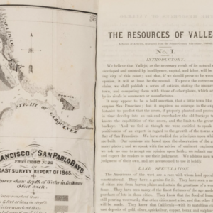
The Resources of Vallejo: A series of articles, reprinted from the Solano County Advertiser, 1868-69
- $3,200
- An early promotional booklet on Vallejo with two very rare folding maps.
-
-
-
-
Add to cart
 Quick View
 - Texas and The West
Map of That Portion of the Boundary between the United States and Mexico From the Pacific Coast To The Junction of the Gila and Colorado Rivers… Showing also the Limits of the Treaty Negotiated by the Hon. James Gadsden
- $3,200
- Gray's 1855 map of the Gadsden Purchase.
-
-
-
-
Add to cart

 Quick View
 - Bay Area & Silicon Valley, Bird's-eye-views, California
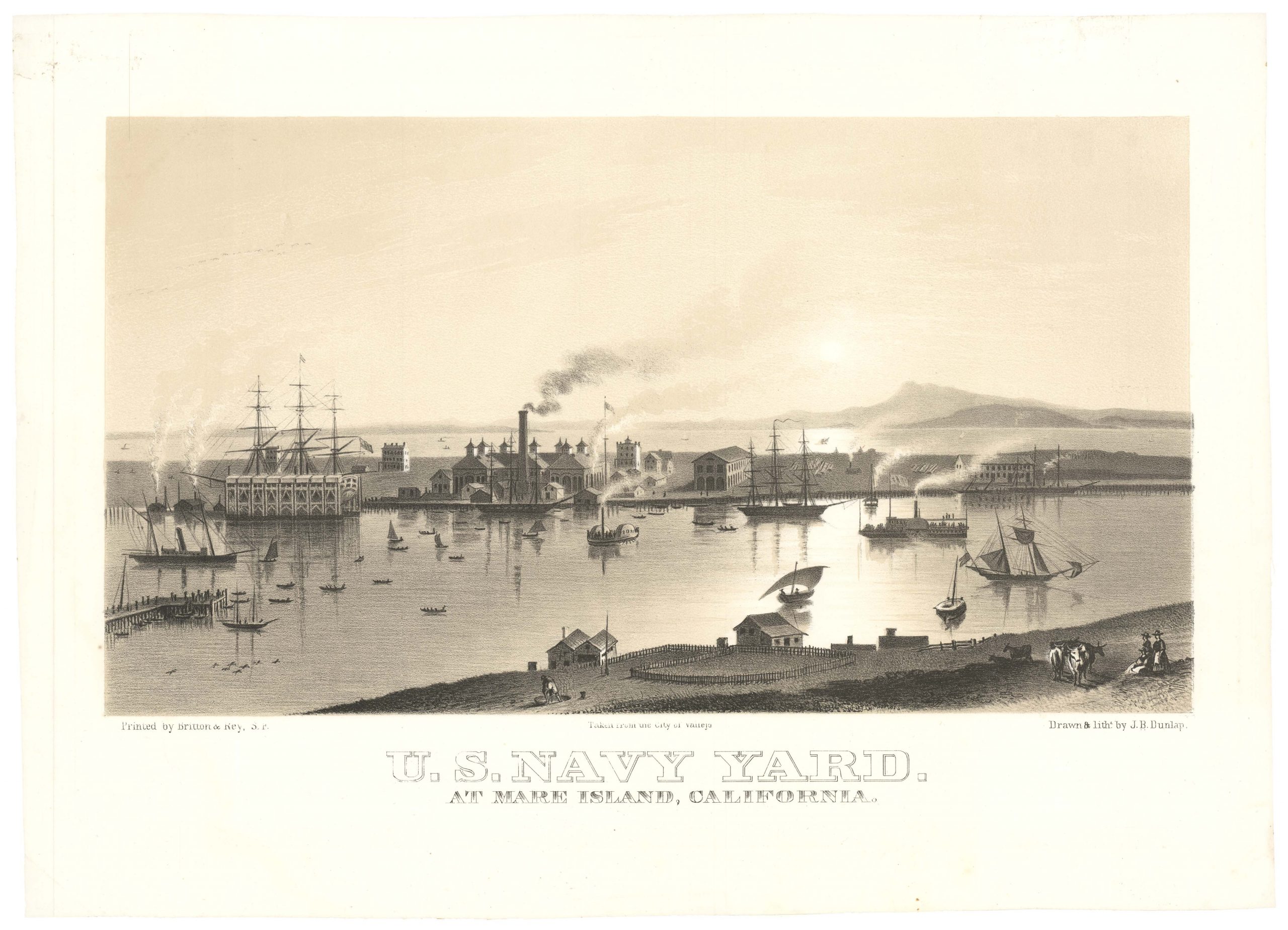
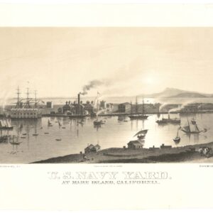
U.S. Navy Yard. At Mare Island, California.
- $4,500
- Early view of the U.S. Navy Yard at Mare Island, with Marin and Mount Tamalpais in the background.
-
-
-
-
-
Add to cart
 Quick View
 - California, San Francisco
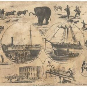
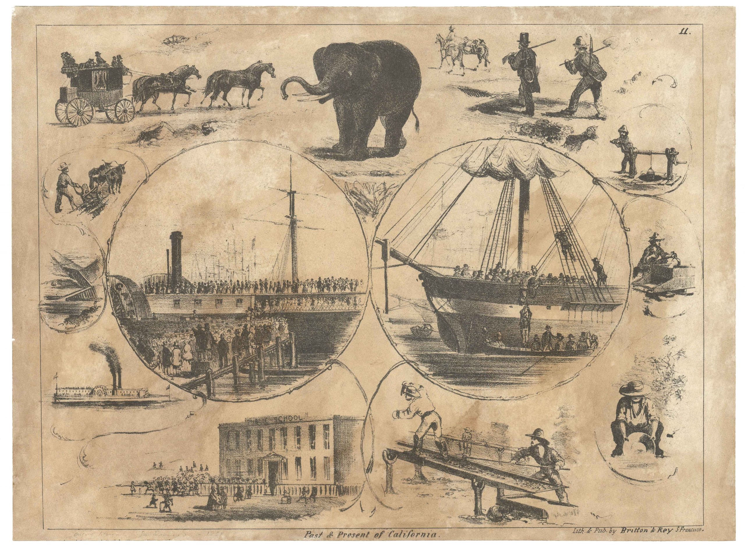
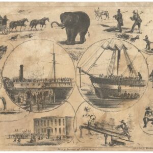
Past & Present of California.
- $975
- The elusive ‘Elephant’ pictorial letter sheet of life in California.
-
-
-