Adrien Hubert Brué (1786-1832) was a French cartographer active in the 18th and 19th centuries. He was born in Paris on March 20, 1786, and died of cholera on July 16, 1832, in Sceaux.
In his youth, Brué served as a cabin boy on various ships, including aboard the Naturaliste, which was part of the Baudin expedition (1800-1804) to the South Seas and New Holland (Australia). Upon his return, he began producing maps for a grand atlas, published for the first time in 1820. A new and better atlas was issued in 1830, the same year he was appointed Royal Geographer.
Brué’s production included various atlases and unique maps, all of which were recognized for the purity of the engraving and the accuracy of the information. His main work, the Atlas universel was expanded multiple by him and Charles Picquet (whose stamp is found on most of Brué’s maps). Among the many aspects that elevated Brué above his peers was the. The fact that he drew his maps directly onto copper plates, a process which he named cartel end prototypes.
-
-
Add to cartQuick View
- East & Midwest United States, Texas and The West
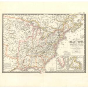
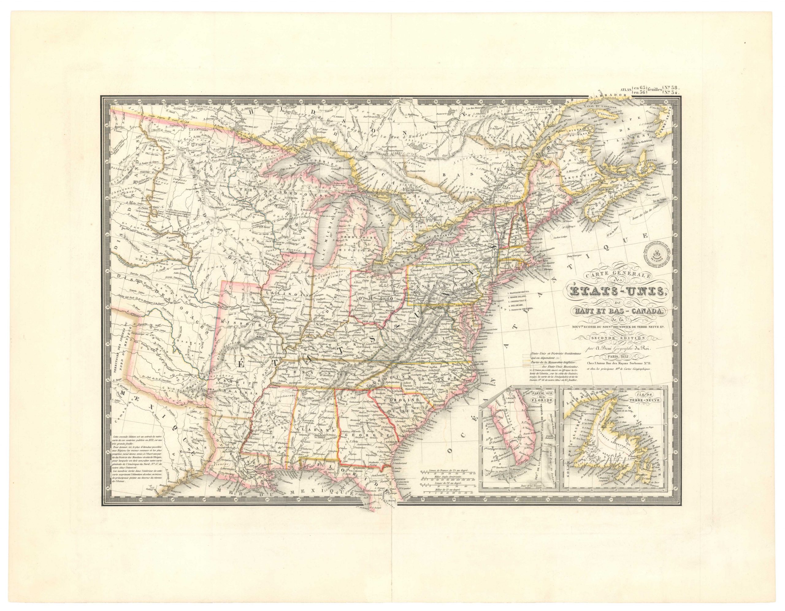
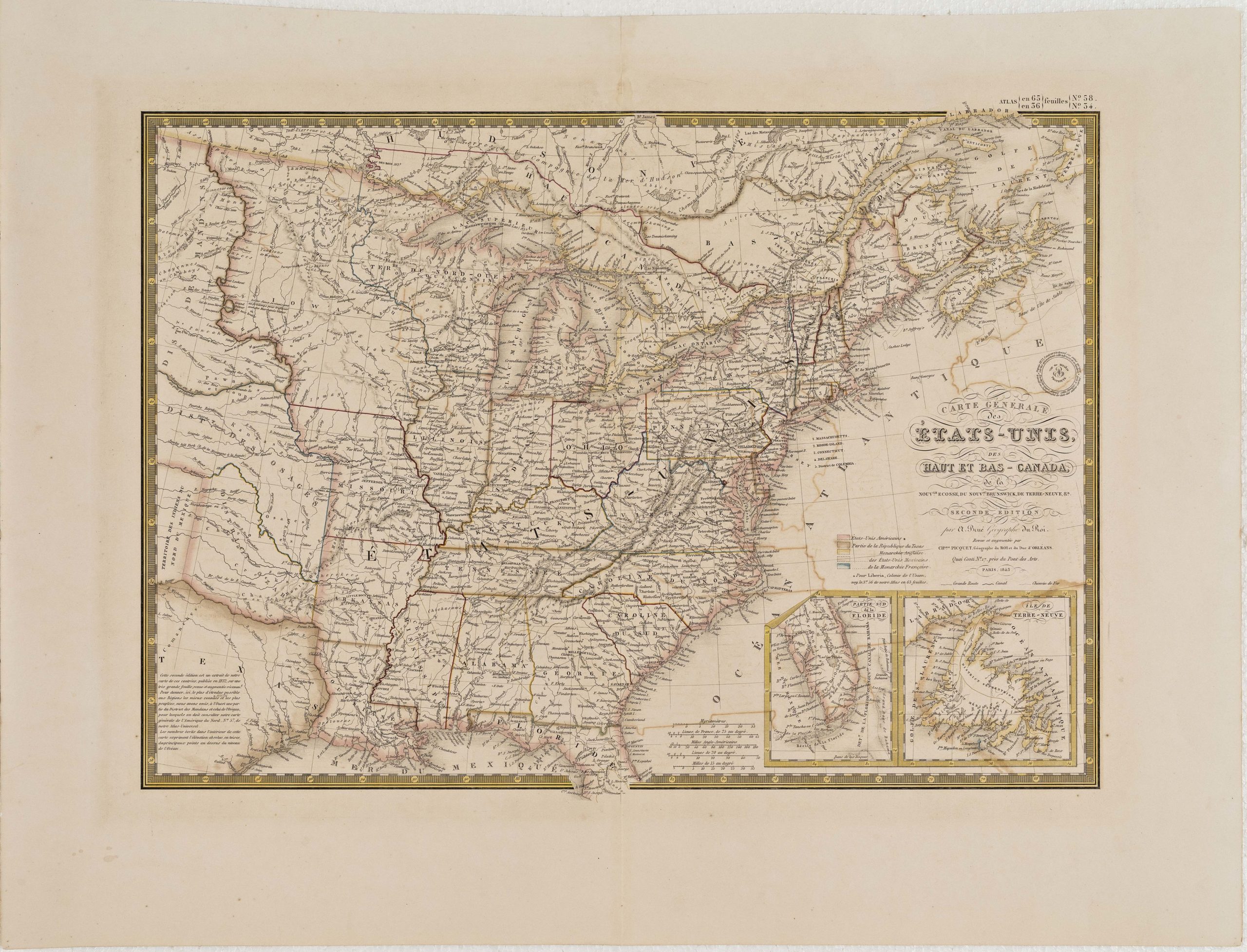
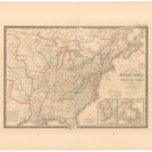
Carte Générale des Etats-Unis, des Haut et Bas-Canada, de la Nouvelle Ecosse, du Nouvelle Brunswick, de Terre Neuve.
- $875
- Brué’s important map of the United States prior to the Mexican-American War, with an overtly independent Texas.
-
Add to cart
-
-
Add to cartQuick View
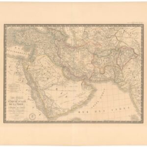
- Asia
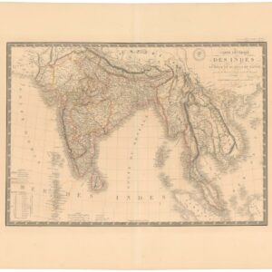
Carte Générale des Indes en-deca et au-dela du Gange.
- $450
- South Asia by France’s Royal Geographer.
-
Add to cart
-
-
Add to cartQuick View
- World
[With Independent Texas] Mappemonde en deux hémisphères.
- $600
- A definitive overview of world geography at the dawn of the Victorian Age.
-
Add to cart
Archived
- Out of Stock
- Texas and The West, United States
[Independent Texas] Carte Générale de l’Amérique Septentrionale…
- A French depiction of North America with a bold, fully-realized Republic of Texas.
- Read moreQuick View
-
- Out of Stock
- Asia
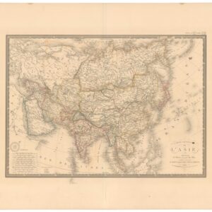
Carte Générale des l’Asie.
- Continental map of Asia by France’s Royal Geographer.
- Read moreQuick View
-
- Out of Stock
- Eastern Mediterranean - Holy Land
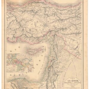
Carte de la Syrie, l’Asie Mineure et de la Basse Égypte, extraite de d’une carte de l’empire Ottoman en 12 flles.
- A French take on the Levant, twenty years before the expedition that initiated France’s colonial interest in the region.
- Read moreQuick View
-
- Out of Stock
- Asia
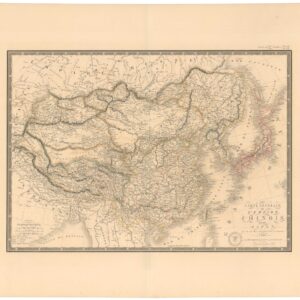
Carte Génerale de l’Empire Chinois et du Japon.
- Brué’s map of two disintegrating Asian empires: Qing China and the isolationist Japan of the Tokugawa Shogunate.
- Read moreQuick View
-
- Out of Stock
- Asia
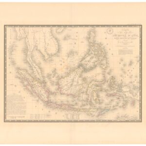
Carte du Grand Archipel d’Asie, Partie Nord-Ouest de l’Océanie.
- A stunning hand-colored chart of the East Indies, produced during the height of colonialism in Southeast Asia.
- Read moreQuick View
-
- Out of Stock
- Asia, World
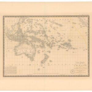
Carte Générale de l’Oceanie ou Cinquième Partie du Monde.
- The Earth’s greatest archipelago in vivid detail.
- Read moreQuick View
-
- Out of Stock
- Arabia and the Red Sea
Carte Générale de la Turquie d’Asie, de la Perse, de l’Arabie, du Caboul er du Turkestan Indepedant.
- The Royal French Geographer’s most prestigious rendition of Arabia and the Greater Middle East.
- Read moreQuick View
-
- Out of Stock
- East & Midwest United States, Texas and The West, United States
Carte générale des États-Unis, du Haut et Bas-Canada, de la Nouvle. Ecosse, du Nouvau. Brunswick, de Terre Neuve &a.
- 1832 Brué map of the United States prior to decades of dramatic westward expansion.
- Read moreQuick View
-
- Out of Stock
- East & Midwest United States, Texas and The West, United States
Carte Générale des États-Unis, des Haut et Bas-Canada, de la Nouvelle Ecosse, du Nouveau Brunswick, de Terre-Neuve, etc.
- A French map of the United States, updated to include the Republic of Texas and the city of Austin.
- Read moreQuick View
-
- Out of Stock
- Mexico - Central & South America, Texas and The West, United States
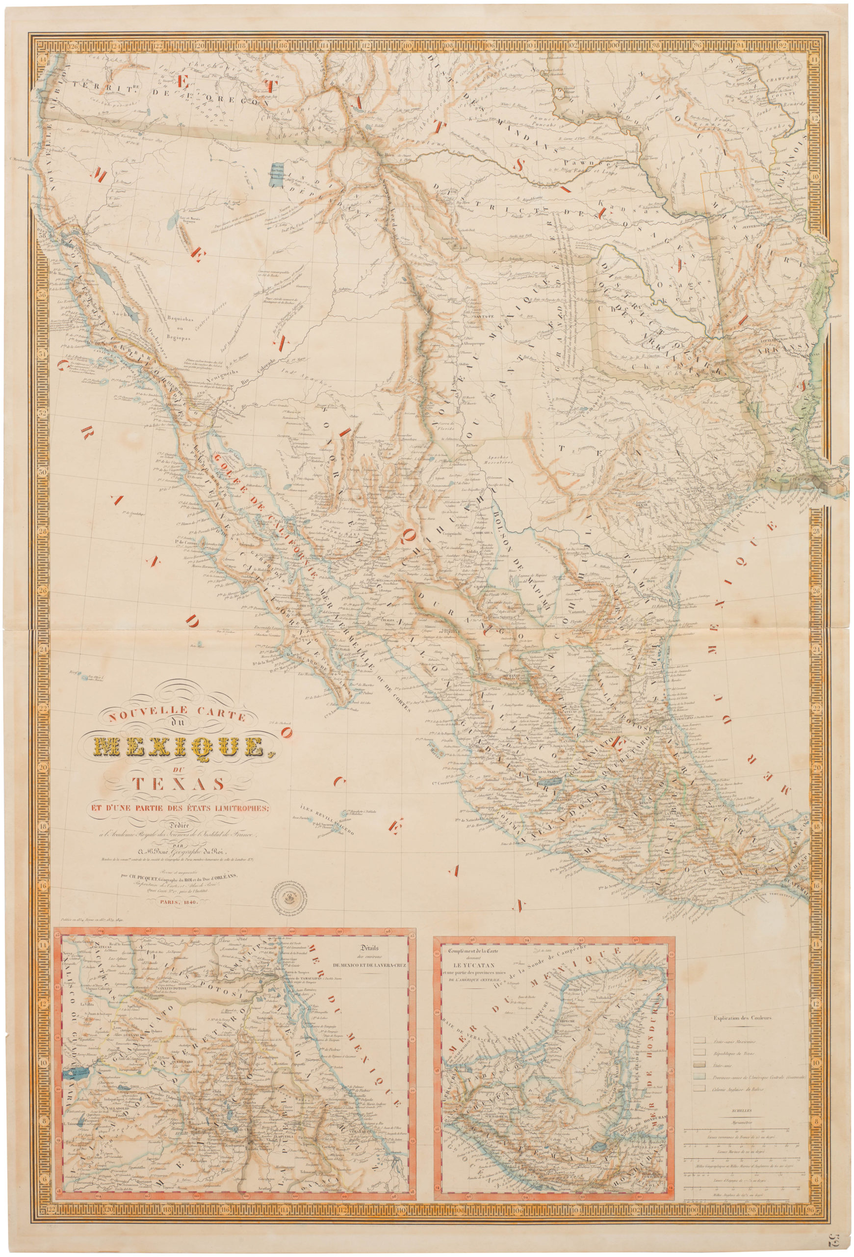
Carte Nouvelle du Mexique du Texas et d’une Partie des Etats Limitrophes
- Brué's landmark map of the West with the Republic of Texas — first use of ‘Texas’ in the title
- Read moreQuick View
-
![[With Independent Texas] Mappemonde en deux hémisphères.](https://neatlinemaps.com/wp-content/uploads/2024/05/NL-02089_thumbnail-300x300.jpg)
![[Independent Texas] Carte Générale de l’Amérique Septentrionale…](https://neatlinemaps.com/wp-content/uploads/2025/11/NL-02004_thumbnail-300x300.jpg)
